Green lanes at Carnkeif
Introduction
The photograph on this page of Green lanes at Carnkeif by Tony Atkin as part of the Geograph project.
The Geograph project started in 2005 with the aim of publishing, organising and preserving representative images for every square kilometre of Great Britain, Ireland and the Isle of Man.

There are currently over 7.5m images from over 14,400 individuals and you can help contribute to the project by visiting https://www.geograph.org.uk
Green lanes at Carnkeif
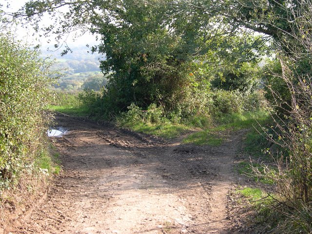
Image: © Tony Atkin Taken: 15 Oct 2005
The hillside around Carnkeif is covered with a network of green lanes, many of them marked on the O/S 1:25,000 map as "Byway open to all traffic". This is quite common in former mining areas in Cornwall. In areas such as this one where mining activity ceased long ago there is little other evidence of mining visible to the passer-by.
Images are licensed for reuse under creativecommons.org/licenses/by-sa/2.0
Image Location


Leaflet Map data © OpenStreetMap
Latitude
50.329757
Longitude
-5.114966