Lichfield Basin, Stourport on Severn
Introduction
The photograph on this page of Lichfield Basin, Stourport on Severn by Chris Allen as part of the Geograph project.
The Geograph project started in 2005 with the aim of publishing, organising and preserving representative images for every square kilometre of Great Britain, Ireland and the Isle of Man.

There are currently over 7.5m images from over 14,400 individuals and you can help contribute to the project by visiting https://www.geograph.org.uk
Lichfield Basin, Stourport on Severn
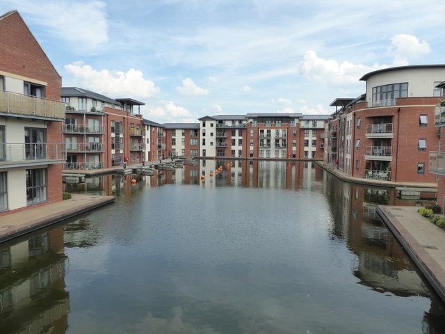
Image: © Chris Allen Taken: 19 Jun 2017
This was part of the inland port at one end of the Staffordshire & Worcestershire Canal. This basin was opened in 1806, filled in during 1950 and partly re-opened in 2007 and surrounded by modern apartment buildings. Although there are moorings in here I don't think I've ever seen a vessel in this basin.
Images are licensed for reuse under creativecommons.org/licenses/by-sa/2.0
Image Location
Latitude
52.337025
Longitude
-2.27793