Waitrose approach road in Wolverhampton
Introduction
The photograph on this page of Waitrose approach road in Wolverhampton by Roger Kidd as part of the Geograph project.
The Geograph project started in 2005 with the aim of publishing, organising and preserving representative images for every square kilometre of Great Britain, Ireland and the Isle of Man.

There are currently over 7.5m images from over 14,400 individuals and you can help contribute to the project by visiting https://www.geograph.org.uk
Waitrose approach road in Wolverhampton
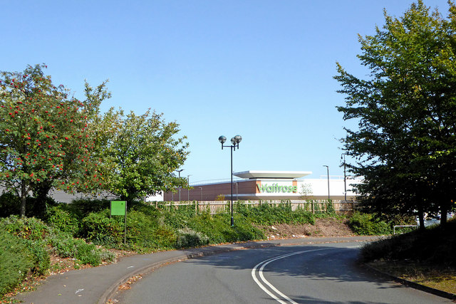
Image: © Roger Kidd Taken: 17 Sep 2020
The supermarket was built for Safeway in the early 1980s(?), and was taken over by Morrison's in February 2004. Within a year or so Morrison's were forced to sell it on to Waitrose because of "competition regulation" laws. In September 2020 it was announced that the store would be closing on 31 December, and would be operated by Tesco from early 2021. Image]
Images are licensed for reuse under creativecommons.org/licenses/by-sa/2.0
Image Location
Latitude
52.57587
Longitude
-2.134828