Swancote Drive in Warstones, Wolverhampton
Introduction
The photograph on this page of Swancote Drive in Warstones, Wolverhampton by Roger Kidd as part of the Geograph project.
The Geograph project started in 2005 with the aim of publishing, organising and preserving representative images for every square kilometre of Great Britain, Ireland and the Isle of Man.

There are currently over 7.5m images from over 14,400 individuals and you can help contribute to the project by visiting https://www.geograph.org.uk
Swancote Drive in Warstones, Wolverhampton
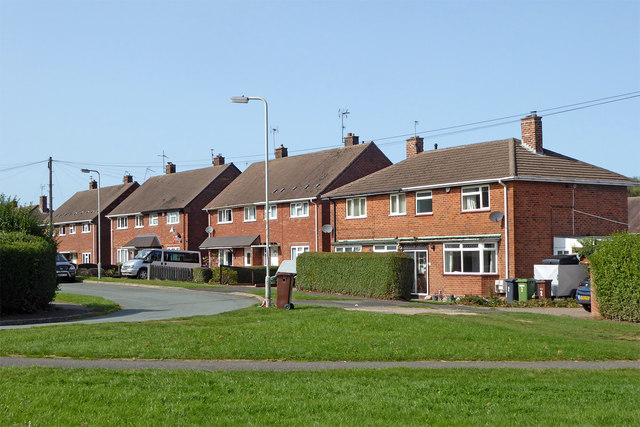
Image: © Roger Kidd Taken: 17 Sep 2020
Looking west towards Highfields School, from Warstones Green.
Images are licensed for reuse under creativecommons.org/licenses/by-sa/2.0
Image Location
Latitude
52.565753
Longitude
-2.171974