Upton from Thurlow Road
Introduction
The photograph on this page of Upton from Thurlow Road by Derek Harper as part of the Geograph project.
The Geograph project started in 2005 with the aim of publishing, organising and preserving representative images for every square kilometre of Great Britain, Ireland and the Isle of Man.

There are currently over 7.5m images from over 14,400 individuals and you can help contribute to the project by visiting https://www.geograph.org.uk
Upton from Thurlow Road
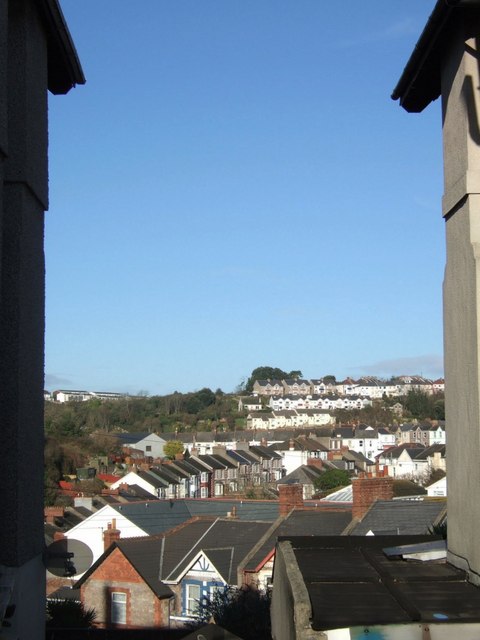
Image: © Derek Harper Taken: 12 Jan 2008
A glimpse between the short terraces along Thurlow Road of housing across the hills of Upton. Beyond the foreground roofs on Upton Hill, a terrace on Forest Road climbs to meet Westbourne Road. Above are terraces on Daison Heights.
Images are licensed for reuse under creativecommons.org/licenses/by-sa/2.0
Image Location
Latitude
50.475591
Longitude
-3.534656