Crossroads, Fletchertown.
Introduction
The photograph on this page of Crossroads, Fletchertown. by Nigel Monckton as part of the Geograph project.
The Geograph project started in 2005 with the aim of publishing, organising and preserving representative images for every square kilometre of Great Britain, Ireland and the Isle of Man.

There are currently over 7.5m images from over 14,400 individuals and you can help contribute to the project by visiting https://www.geograph.org.uk
Crossroads, Fletchertown.
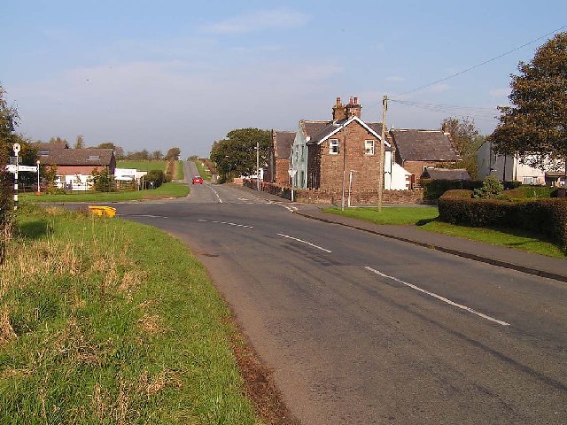
Image: © Nigel Monckton Taken: 16 Oct 2005
Fletchertown is poorly served by public transport and physically isolated - typical of many of the very rural ex-mining villages in the area. The white signs to the left of the photo are at the entrance to a small business park, set up to address such issues.
Images are licensed for reuse under creativecommons.org/licenses/by-sa/2.0
Image Location


Leaflet Map data © OpenStreetMap
Latitude
54.77471
Longitude
-3.235847