Boundary marker at junction of A689 and B6278 - detail
Introduction
The photograph on this page of Boundary marker at junction of A689 and B6278 - detail by Mike Quinn as part of the Geograph project.
The Geograph project started in 2005 with the aim of publishing, organising and preserving representative images for every square kilometre of Great Britain, Ireland and the Isle of Man.

There are currently over 7.5m images from over 14,400 individuals and you can help contribute to the project by visiting https://www.geograph.org.uk
Boundary marker at junction of A689 and B6278 - detail
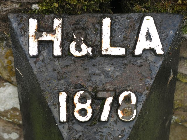
Image: © Mike Quinn Taken: 11 Aug 2020
See Image
Images are licensed for reuse under creativecommons.org/licenses/by-sa/2.0
Image Location


Leaflet Map data © OpenStreetMap
Latitude
54.748295
Longitude
-2.019543