Field near Gribblesdown
Introduction
The photograph on this page of Field near Gribblesdown by Derek Harper as part of the Geograph project.
The Geograph project started in 2005 with the aim of publishing, organising and preserving representative images for every square kilometre of Great Britain, Ireland and the Isle of Man.

There are currently over 7.5m images from over 14,400 individuals and you can help contribute to the project by visiting https://www.geograph.org.uk
Field near Gribblesdown
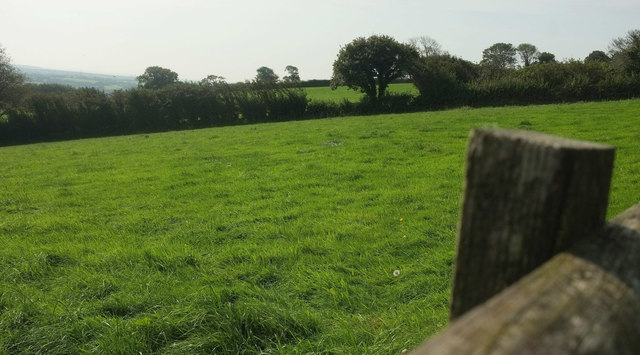
Image: © Derek Harper Taken: 16 Sep 2020
Within less than 100 metres of the end of the no through lane, from which a green lane climbs to Aish Ridge.
Images are licensed for reuse under creativecommons.org/licenses/by-sa/2.0
Image Location
Latitude
50.431232
Longitude
-3.851158