Junction for Trevenning
Introduction
The photograph on this page of Junction for Trevenning by David Smith as part of the Geograph project.
The Geograph project started in 2005 with the aim of publishing, organising and preserving representative images for every square kilometre of Great Britain, Ireland and the Isle of Man.

There are currently over 7.5m images from over 14,400 individuals and you can help contribute to the project by visiting https://www.geograph.org.uk
Junction for Trevenning
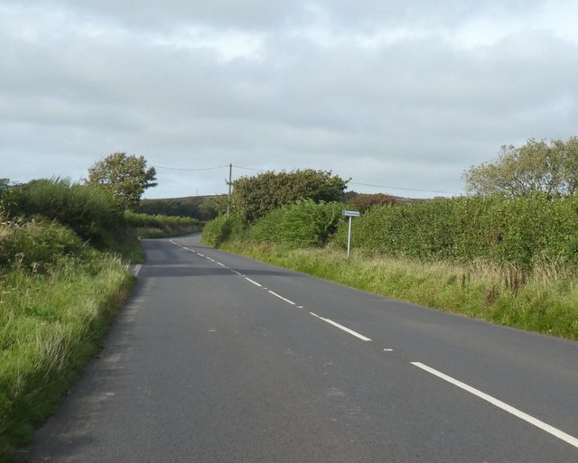
Image: © David Smith Taken: 7 Sep 2020
There must be some good reason for the change in the width of the verges at the junction.
Images are licensed for reuse under creativecommons.org/licenses/by-sa/2.0
Image Location
Latitude
50.568915
Longitude
-4.710257