Six Mile Bottom railway station (site), Cambridgeshire
Introduction
The photograph on this page of Six Mile Bottom railway station (site), Cambridgeshire by Nigel Thompson as part of the Geograph project.
The Geograph project started in 2005 with the aim of publishing, organising and preserving representative images for every square kilometre of Great Britain, Ireland and the Isle of Man.

There are currently over 7.5m images from over 14,400 individuals and you can help contribute to the project by visiting https://www.geograph.org.uk
Six Mile Bottom railway station (site), Cambridgeshire
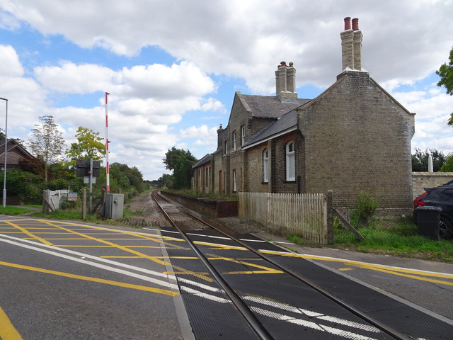
Image: © Nigel Thompson Taken: 1 Sep 2020
Opened in 1848 by the Newmarket & Chesterford Railway, later part of the Great Eastern Railway, this station closed to passengers in 1967. View north east towards Dullingham and Newmarket. Both platforms were still extant when this image was taken, as was the former cattle dock immediately behind the camera position. The station building is now a private residence. For more information, see http://www.disused-stations.org.uk/s/six_mile_bottom/index.shtml
Images are licensed for reuse under creativecommons.org/licenses/by-sa/2.0
Image Location
Latitude
52.186802
Longitude
0.305863