Eagley Brook
Introduction
The photograph on this page of Eagley Brook by philandju as part of the Geograph project.
The Geograph project started in 2005 with the aim of publishing, organising and preserving representative images for every square kilometre of Great Britain, Ireland and the Isle of Man.

There are currently over 7.5m images from over 14,400 individuals and you can help contribute to the project by visiting https://www.geograph.org.uk
Eagley Brook
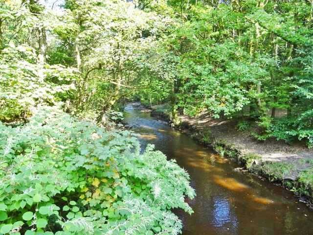
Image: © philandju Taken: 17 Sep 2020
The brook flows west and then south to its confluence with Astley Brook at Waters Meeting where the two brooks become the River Tonge.
Images are licensed for reuse under creativecommons.org/licenses/by-sa/2.0
Image Location
Latitude
53.608062
Longitude
-2.416191