Garden Mead, West Hoathly
Introduction
The photograph on this page of Garden Mead, West Hoathly by Simon Carey as part of the Geograph project.
The Geograph project started in 2005 with the aim of publishing, organising and preserving representative images for every square kilometre of Great Britain, Ireland and the Isle of Man.

There are currently over 7.5m images from over 14,400 individuals and you can help contribute to the project by visiting https://www.geograph.org.uk
Garden Mead, West Hoathly
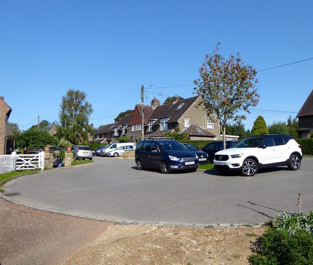
Image: © Simon Carey Taken: 13 Sep 2020
A small estate built on the eastern end of Sandy Lane. The houses on the northern side were completed in the mid 1930s whilst those to the south were not erected until the late 1940s. The cul de sac is located in a former field called Garden Field according to West Hoathly's 1841 tithe map.
Images are licensed for reuse under creativecommons.org/licenses/by-sa/2.0
Image Location
Latitude
51.076954
Longitude
-0.053272