Villas and lime trees, Adelaide Road, Leamington
Introduction
The photograph on this page of Villas and lime trees, Adelaide Road, Leamington by Robin Stott as part of the Geograph project.
The Geograph project started in 2005 with the aim of publishing, organising and preserving representative images for every square kilometre of Great Britain, Ireland and the Isle of Man.

There are currently over 7.5m images from over 14,400 individuals and you can help contribute to the project by visiting https://www.geograph.org.uk
Villas and lime trees, Adelaide Road, Leamington
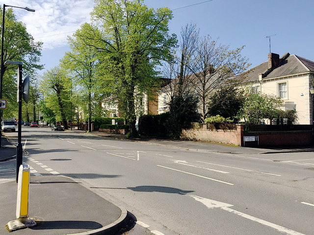
Image: © Robin Stott Taken: 19 Apr 2020
There were plans for this southwest area of the town in the 1840s but it was only later that any development took place. In 1850 Adelaide Bridge replaced the flood-prone Dale Street bridge suggesting that Adelaide Road itself had gained in importance as a route to both the Avenue Road and Milverton railway stations. Brunel's Oxford to Birmingham extension of the GWR reached Leamington in 1852. The spa town became a residential town, home to businessmen who commuted to Birmingham and Coventry. Not until the 1860s and 70s do town plans show the cluster of large elegant villas in Adelaide and Avenue Roads Image
Images are licensed for reuse under creativecommons.org/licenses/by-sa/2.0
Image Location


Leaflet Map data © OpenStreetMap
Latitude
52.287104
Longitude
-1.540507