The Star Inn, East Tytherley
Introduction
The photograph on this page of The Star Inn, East Tytherley by Rosemary Oakeshott as part of the Geograph project.
The Geograph project started in 2005 with the aim of publishing, organising and preserving representative images for every square kilometre of Great Britain, Ireland and the Isle of Man.

There are currently over 7.5m images from over 14,400 individuals and you can help contribute to the project by visiting https://www.geograph.org.uk
The Star Inn, East Tytherley
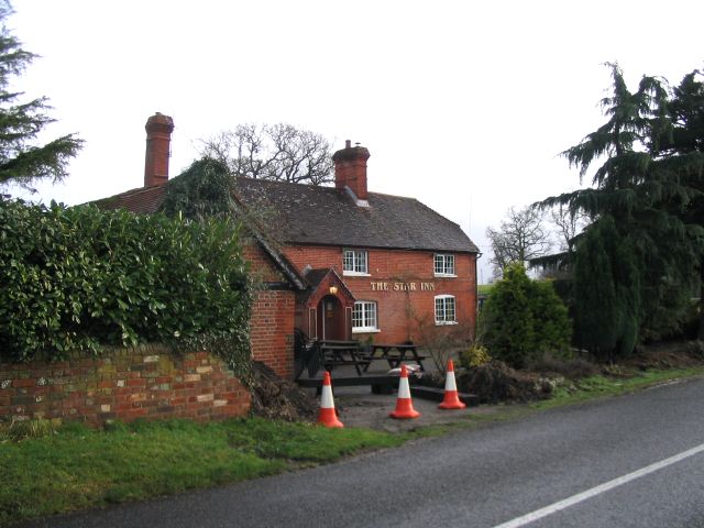
Image: © Rosemary Oakeshott Taken: 17 Jan 2008
Originally a seventeenth century coaching inn, the Star is about half way between Lockerley and East Tytherley.
Images are licensed for reuse under creativecommons.org/licenses/by-sa/2.0
Image Location


Leaflet Map data © OpenStreetMap
Latitude
51.048533
Longitude
-1.58225