Melin Y Bont, Bryn Du
Introduction
The photograph on this page of Melin Y Bont, Bryn Du by gordon as part of the Geograph project.
The Geograph project started in 2005 with the aim of publishing, organising and preserving representative images for every square kilometre of Great Britain, Ireland and the Isle of Man.

There are currently over 7.5m images from over 14,400 individuals and you can help contribute to the project by visiting https://www.geograph.org.uk
Melin Y Bont, Bryn Du
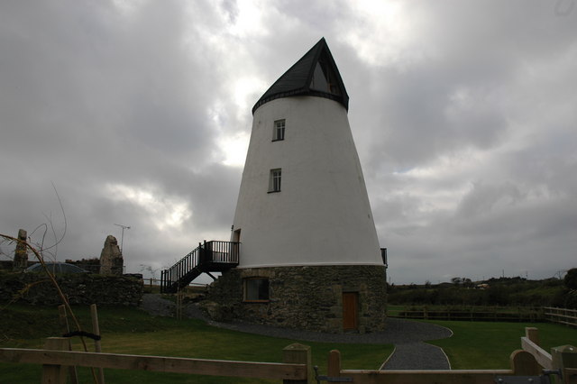
Image: © gordon Taken: 3 Nov 2007
Converted windmill (Grade II listed), Melin Y Bont (mill by the bridge), Bryn Du. One of only a few mills built to use water and windpower.
Images are licensed for reuse under creativecommons.org/licenses/by-sa/2.0
Image Location
Latitude
53.22411
Longitude
-4.479557