32 & 34 High Street, West Lavington
Introduction
The photograph on this page of 32 & 34 High Street, West Lavington by M J Roscoe as part of the Geograph project.
The Geograph project started in 2005 with the aim of publishing, organising and preserving representative images for every square kilometre of Great Britain, Ireland and the Isle of Man.

There are currently over 7.5m images from over 14,400 individuals and you can help contribute to the project by visiting https://www.geograph.org.uk
32 & 34 High Street, West Lavington
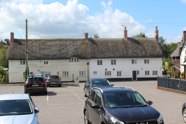
Image: © M J Roscoe Taken: 26 Aug 2020
Thatched houses on the A360, with the car park of the Churchill Arms in the foreground.
Images are licensed for reuse under creativecommons.org/licenses/by-sa/2.0
Image Location
Latitude
51.279833
Longitude
-1.995936