Rotten Calder river below Stoneymeadow Road
Introduction
The photograph on this page of Rotten Calder river below Stoneymeadow Road by Alec MacKinnon as part of the Geograph project.
The Geograph project started in 2005 with the aim of publishing, organising and preserving representative images for every square kilometre of Great Britain, Ireland and the Isle of Man.

There are currently over 7.5m images from over 14,400 individuals and you can help contribute to the project by visiting https://www.geograph.org.uk
Rotten Calder river below Stoneymeadow Road
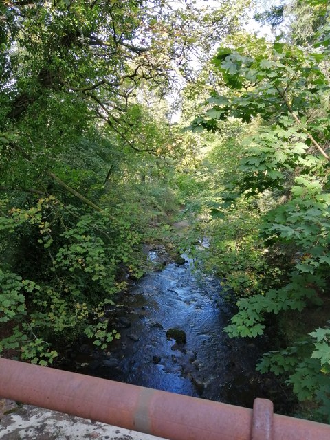
Image: © Alec MacKinnon Taken: 17 Sep 2020
The glen carved out by the picturesquely named Rotten Calder is steep sided here and the river passes some tens of feet below the road. The picture looks over the parapet of the bridge seen in Image with the bit of bit of tubular parapet in the foreground.
Images are licensed for reuse under creativecommons.org/licenses/by-sa/2.0
Image Location
Latitude
55.782546
Longitude
-4.128522