Along All Saints Lane
Introduction
The photograph on this page of Along All Saints Lane by Neil Owen as part of the Geograph project.
The Geograph project started in 2005 with the aim of publishing, organising and preserving representative images for every square kilometre of Great Britain, Ireland and the Isle of Man.

There are currently over 7.5m images from over 14,400 individuals and you can help contribute to the project by visiting https://www.geograph.org.uk
Along All Saints Lane
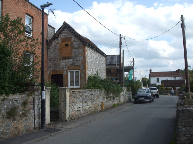
Image: © Neil Owen Taken: 31 Aug 2020
Looking south down the lane towards what was Court Farm, with a benchmark on the near pillar - see Image
Images are licensed for reuse under creativecommons.org/licenses/by-sa/2.0
Image Location
Latitude
51.440386
Longitude
-2.839174