The bottom end of Cambridge Road
Introduction
The photograph on this page of The bottom end of Cambridge Road by Neil Owen as part of the Geograph project.
The Geograph project started in 2005 with the aim of publishing, organising and preserving representative images for every square kilometre of Great Britain, Ireland and the Isle of Man.

There are currently over 7.5m images from over 14,400 individuals and you can help contribute to the project by visiting https://www.geograph.org.uk
The bottom end of Cambridge Road
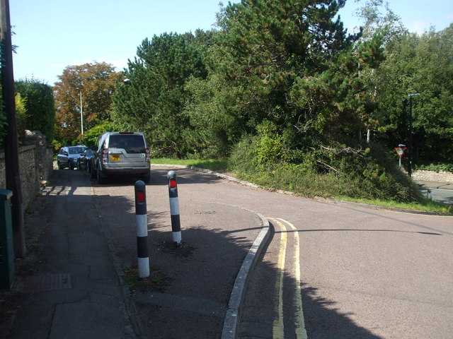
Image: © Neil Owen Taken: 31 Aug 2020
The junction with Wellington Terrace and a small triangular section is calmed with some road width variation and bollards. On a pillar nearby is a benchmark: Image
Images are licensed for reuse under creativecommons.org/licenses/by-sa/2.0
Image Location
Latitude
51.448188
Longitude
-2.854571