Resolis to Culbo Road
Introduction
The photograph on this page of Resolis to Culbo Road by valenta as part of the Geograph project.
The Geograph project started in 2005 with the aim of publishing, organising and preserving representative images for every square kilometre of Great Britain, Ireland and the Isle of Man.

There are currently over 7.5m images from over 14,400 individuals and you can help contribute to the project by visiting https://www.geograph.org.uk
Resolis to Culbo Road
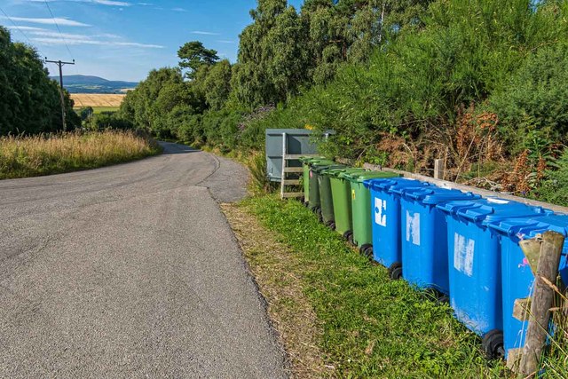
Image: © valenta Taken: 6 Aug 2020
The minor road from Resolis to Culbo makes a sharp turn to the left in this image. As with most high ground on The Black Isle, views of Ben Wyvis are usually available as here, in the gap between the trees
Images are licensed for reuse under creativecommons.org/licenses/by-sa/2.0
Image Location
Latitude
57.64505
Longitude
-4.220017