All Saints Church of England Primary School
Introduction
The photograph on this page of All Saints Church of England Primary School by Neil Owen as part of the Geograph project.
The Geograph project started in 2005 with the aim of publishing, organising and preserving representative images for every square kilometre of Great Britain, Ireland and the Isle of Man.

There are currently over 7.5m images from over 14,400 individuals and you can help contribute to the project by visiting https://www.geograph.org.uk
All Saints Church of England Primary School
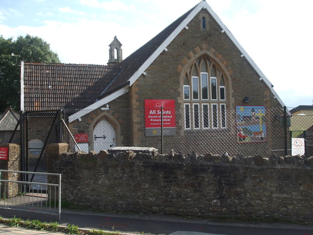
Image: © Neil Owen Taken: 31 Aug 2020
The neighbouring church was built in 1860, with this school founded ten years later. Originally it started as a Sunday school but quickly developed into an Infants and Primary school.
Images are licensed for reuse under creativecommons.org/licenses/by-sa/2.0
Image Location
Latitude
51.442265
Longitude
-2.840504