North Newbald from the east
Introduction
The photograph on this page of North Newbald from the east by Paul Harrop as part of the Geograph project.
The Geograph project started in 2005 with the aim of publishing, organising and preserving representative images for every square kilometre of Great Britain, Ireland and the Isle of Man.

There are currently over 7.5m images from over 14,400 individuals and you can help contribute to the project by visiting https://www.geograph.org.uk
North Newbald from the east
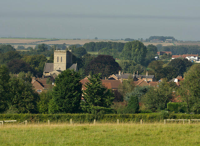
Image: © Paul Harrop Taken: 15 Sep 2020
From an elevation of about 115m, on the lane that descends steeply into the village from High Hunsley. St Nicholas's Church tower is the most prominent landmark.
Images are licensed for reuse under creativecommons.org/licenses/by-sa/2.0
Image Location
Latitude
53.817863
Longitude
-0.615601