View over Bottoms Reservoir towards Tegg's Nose
Introduction
The photograph on this page of View over Bottoms Reservoir towards Tegg's Nose by Philip Cornwall as part of the Geograph project.
The Geograph project started in 2005 with the aim of publishing, organising and preserving representative images for every square kilometre of Great Britain, Ireland and the Isle of Man.

There are currently over 7.5m images from over 14,400 individuals and you can help contribute to the project by visiting https://www.geograph.org.uk
View over Bottoms Reservoir towards Tegg's Nose
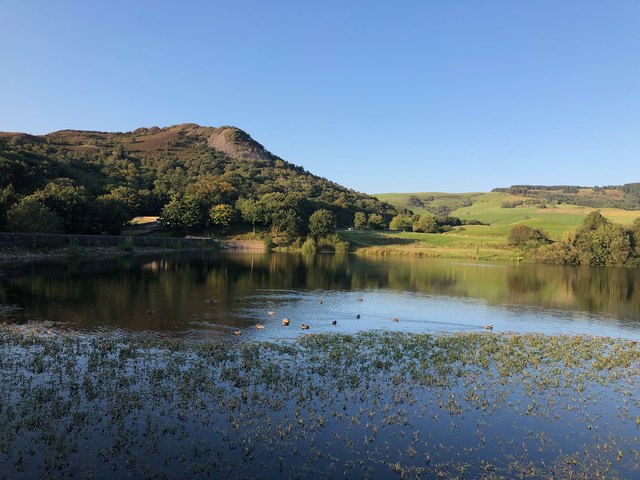
Image: © Philip Cornwall Taken: 13 Sep 2020
The Gritstone Trail goes across the dam and along the southern edge of the reservoir before joining Clarke Lane.
Images are licensed for reuse under creativecommons.org/licenses/by-sa/2.0
Image Location
Latitude
53.242026
Longitude
-2.082674