Tolmers Square, Euston
Introduction
The photograph on this page of Tolmers Square, Euston by Stephen McKay as part of the Geograph project.
The Geograph project started in 2005 with the aim of publishing, organising and preserving representative images for every square kilometre of Great Britain, Ireland and the Isle of Man.

There are currently over 7.5m images from over 14,400 individuals and you can help contribute to the project by visiting https://www.geograph.org.uk
Tolmers Square, Euston
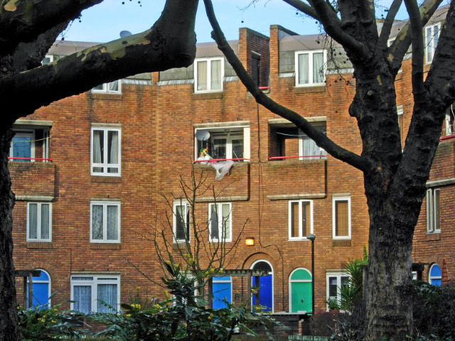
Image: © Stephen McKay Taken: 16 Jan 2008
The modern Tolmers Square consists of council flats set around a paved open area with trees. Access to the square is through narrow passages on the east and west sides of the square - far from obvious to the casual visitor.
Images are licensed for reuse under creativecommons.org/licenses/by-sa/2.0
Image Location


Leaflet Map data © OpenStreetMap
Latitude
51.526616
Longitude
-0.137374