Paths across site of Market Weighton station
Introduction
The photograph on this page of Paths across site of Market Weighton station by Chris Morgan as part of the Geograph project.
The Geograph project started in 2005 with the aim of publishing, organising and preserving representative images for every square kilometre of Great Britain, Ireland and the Isle of Man.

There are currently over 7.5m images from over 14,400 individuals and you can help contribute to the project by visiting https://www.geograph.org.uk
Paths across site of Market Weighton station
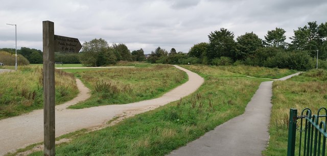
Image: © Chris Morgan Taken: 8 Sep 2020
Where lines from Driffield and Beverley converged, going on beyond the station either to Selby or York.
Images are licensed for reuse under creativecommons.org/licenses/by-sa/2.0
Image Location
Latitude
53.866696
Longitude
-0.665392