Reform Tower, Peterhead
Introduction
The photograph on this page of Reform Tower, Peterhead by JThomas as part of the Geograph project.
The Geograph project started in 2005 with the aim of publishing, organising and preserving representative images for every square kilometre of Great Britain, Ireland and the Isle of Man.

There are currently over 7.5m images from over 14,400 individuals and you can help contribute to the project by visiting https://www.geograph.org.uk
Reform Tower, Peterhead
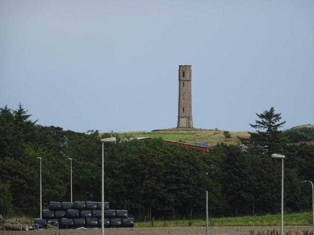
Image: © JThomas Taken: 23 Aug 2020
A Category B Listed Building on Meet Hill. Believed to have been built on a tumulus. Visible from several miles away, the tower was intended as an observatory, but was never completed as such.
Images are licensed for reuse under creativecommons.org/licenses/by-sa/2.0
Image Location
Latitude
57.492014
Longitude
-1.798903