The Speccotts
Introduction
The photograph on this page of The Speccotts by Jonathan Billinger as part of the Geograph project.
The Geograph project started in 2005 with the aim of publishing, organising and preserving representative images for every square kilometre of Great Britain, Ireland and the Isle of Man.

There are currently over 7.5m images from over 14,400 individuals and you can help contribute to the project by visiting https://www.geograph.org.uk
The Speccotts
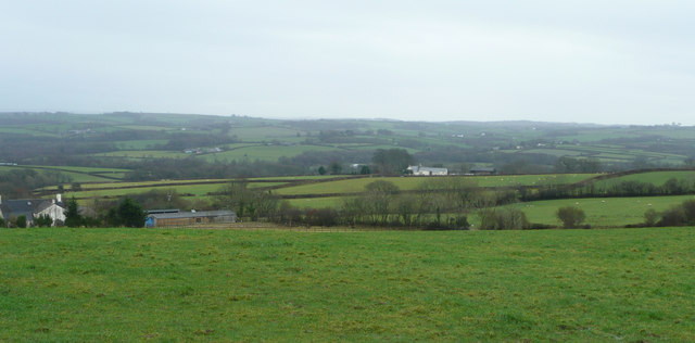
Image: © Jonathan Billinger Taken: 16 Jan 2008
Little Speccott to the left, and Speccott Barton, centre, further away. All viewed from the A386 five miles south of Great Torrington.
Images are licensed for reuse under creativecommons.org/licenses/by-sa/2.0
Image Location


Leaflet Map data © OpenStreetMap
Latitude
50.909258
Longitude
-4.124971