West End Methodist Church, Oswaldtwistle
Introduction
The photograph on this page of West End Methodist Church, Oswaldtwistle by David Dixon as part of the Geograph project.
The Geograph project started in 2005 with the aim of publishing, organising and preserving representative images for every square kilometre of Great Britain, Ireland and the Isle of Man.

There are currently over 7.5m images from over 14,400 individuals and you can help contribute to the project by visiting https://www.geograph.org.uk
West End Methodist Church, Oswaldtwistle
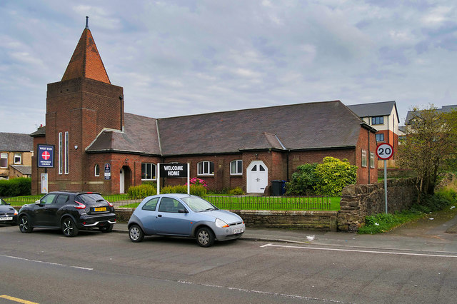
Image: © David Dixon Taken: 12 Sep 2020
Founded as West End Wesleyan Methodist Church before 1911 (it is shown on the OS map of 1911 https://www.old-maps.co.uk/#/Map/373290/428286/12/100674 but not that of 1894).
Images are licensed for reuse under creativecommons.org/licenses/by-sa/2.0
Image Location
Latitude
53.75019
Longitude
-2.409103