Trees in a field, Tremeere Manor, Lanivet
Introduction
The photograph on this page of Trees in a field, Tremeere Manor, Lanivet by Humphrey Bolton as part of the Geograph project.
The Geograph project started in 2005 with the aim of publishing, organising and preserving representative images for every square kilometre of Great Britain, Ireland and the Isle of Man.

There are currently over 7.5m images from over 14,400 individuals and you can help contribute to the project by visiting https://www.geograph.org.uk
Trees in a field, Tremeere Manor, Lanivet
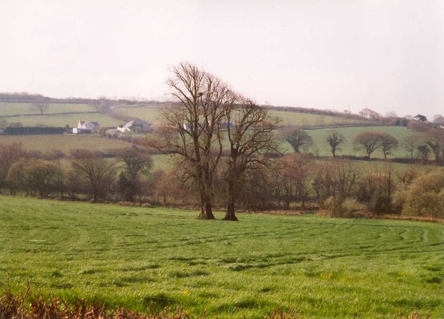
Image: © Humphrey Bolton Taken: 6 Apr 2002
A line of trees in a field often indicates a former hedgerow, but here there are just two close together in the middle of the field, and they were shown on the 1888 6 inch map. Lower Tredenham Farm is in the distance.
Images are licensed for reuse under creativecommons.org/licenses/by-sa/2.0
Image Location


Leaflet Map data © OpenStreetMap
Latitude
50.444065
Longitude
-4.756218