The River Teviot from the air
Introduction
The photograph on this page of The River Teviot from the air by Thomas Nugent as part of the Geograph project.
The Geograph project started in 2005 with the aim of publishing, organising and preserving representative images for every square kilometre of Great Britain, Ireland and the Isle of Man.

There are currently over 7.5m images from over 14,400 individuals and you can help contribute to the project by visiting https://www.geograph.org.uk
The River Teviot from the air
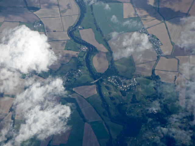
Image: © Thomas Nugent Taken: 6 Sep 2020
Roxburghe Golf Club is on the right. The disused Roxburgh railway viaduct on the former North British Kelso branch line can be seen crossing the river in the centre of the photo. Part of the route of the former Jedburgh Railway can be seen in the foreground, the junction with the Kelso branch is obscured by cloud.
Images are licensed for reuse under creativecommons.org/licenses/by-sa/2.0
Image Location


Leaflet Map data © OpenStreetMap
Latitude
55.558226
Longitude
-2.485079