Former hemp works Cromarty
Introduction
The photograph on this page of Former hemp works Cromarty by Gordon Hatton as part of the Geograph project.
The Geograph project started in 2005 with the aim of publishing, organising and preserving representative images for every square kilometre of Great Britain, Ireland and the Isle of Man.

There are currently over 7.5m images from over 14,400 individuals and you can help contribute to the project by visiting https://www.geograph.org.uk
Former hemp works Cromarty
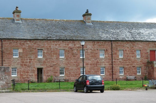
Image: © Gordon Hatton Taken: 3 Jul 2019
Part of the central section of the three sided [formerly a quadrangle] group of sandstone buildings dating from 1773 and now grade 'B' listed. originally a hemp works, but now converted to dwellings.
Images are licensed for reuse under creativecommons.org/licenses/by-sa/2.0
Image Location
Latitude
57.681363
Longitude
-4.037728