Path from Dick Lane to New Lane
Introduction
The photograph on this page of Path from Dick Lane to New Lane by Stephen Craven as part of the Geograph project.
The Geograph project started in 2005 with the aim of publishing, organising and preserving representative images for every square kilometre of Great Britain, Ireland and the Isle of Man.

There are currently over 7.5m images from over 14,400 individuals and you can help contribute to the project by visiting https://www.geograph.org.uk
Path from Dick Lane to New Lane
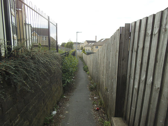
Image: © Stephen Craven Taken: 5 Sep 2020
The area to the right was railway land near the former Laisterdyke station and the path dates from the railway era although there is now modern housing on both sides.
Images are licensed for reuse under creativecommons.org/licenses/by-sa/2.0
Image Location
Latitude
53.791708
Longitude
-1.712007