Start of a bridleway across Tong Moor
Introduction
The photograph on this page of Start of a bridleway across Tong Moor by Stephen Craven as part of the Geograph project.
The Geograph project started in 2005 with the aim of publishing, organising and preserving representative images for every square kilometre of Great Britain, Ireland and the Isle of Man.

There are currently over 7.5m images from over 14,400 individuals and you can help contribute to the project by visiting https://www.geograph.org.uk
Start of a bridleway across Tong Moor
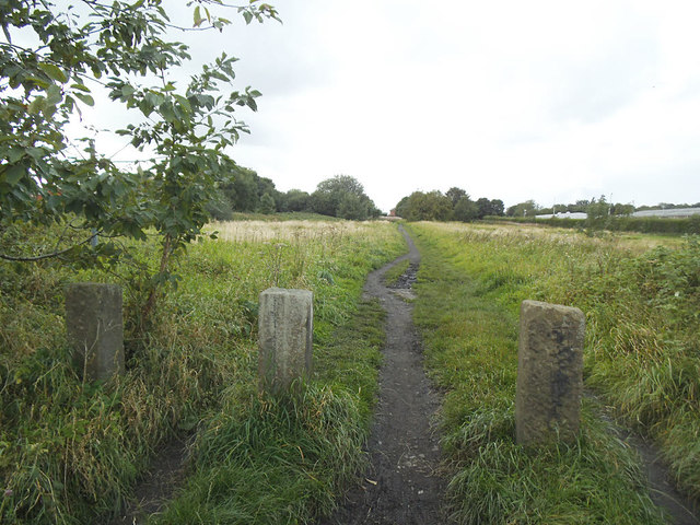
Image: © Stephen Craven Taken: 5 Sep 2020
What is left of the unbuilt land of Tong Moor consists of two parcels of land, this one of 2 hectares and a larger one to the north-west. Both are shown on the Explorer map as access land. The website common-land.com confirms it is a common, but the ownership is given archaically as "Part owned by Bradford Corporation and part owned by Municipal Borough of Spenborough." The latter should now be the borough of Kirklees, and only a small corner is within Bradford.
Images are licensed for reuse under creativecommons.org/licenses/by-sa/2.0
Image Location
Latitude
53.757313
Longitude
-1.687672