Walkingham Wood
Introduction
The photograph on this page of Walkingham Wood by Derek Harper as part of the Geograph project.
The Geograph project started in 2005 with the aim of publishing, organising and preserving representative images for every square kilometre of Great Britain, Ireland and the Isle of Man.

There are currently over 7.5m images from over 14,400 individuals and you can help contribute to the project by visiting https://www.geograph.org.uk
Walkingham Wood
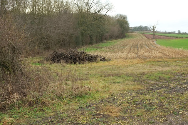
Image: © Derek Harper Taken: 23 Dec 2019
Looking right from Image Mapped as Walkingham Wood, but also called Firlands Plantation according to the gate shown at Image The edge of the wood is followed by the parish boundary between Copgrove (right) and Walkingham & Occaney.
Images are licensed for reuse under creativecommons.org/licenses/by-sa/2.0
Image Location
Latitude
54.05473
Longitude
-1.481979