Approaching Holme on Kirklees Way
Introduction
The photograph on this page of Approaching Holme on Kirklees Way by Neil Theasby as part of the Geograph project.
The Geograph project started in 2005 with the aim of publishing, organising and preserving representative images for every square kilometre of Great Britain, Ireland and the Isle of Man.

There are currently over 7.5m images from over 14,400 individuals and you can help contribute to the project by visiting https://www.geograph.org.uk
Approaching Holme on Kirklees Way
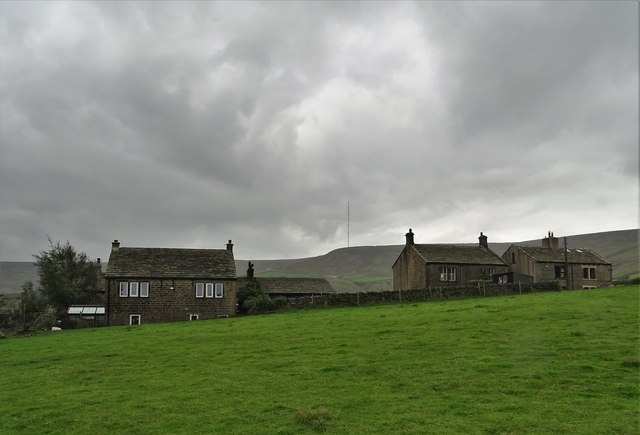
Image: © Neil Theasby Taken: 10 Sep 2020
Holme Moss transmitting station mast can be seen ahead on the grey horizon.
Images are licensed for reuse under creativecommons.org/licenses/by-sa/2.0
Image Location
Latitude
53.550884
Longitude
-1.839521