Beechtree Lane near Churchill in Worcestershire
Introduction
The photograph on this page of Beechtree Lane near Churchill in Worcestershire by Roger Kidd as part of the Geograph project.
The Geograph project started in 2005 with the aim of publishing, organising and preserving representative images for every square kilometre of Great Britain, Ireland and the Isle of Man.

There are currently over 7.5m images from over 14,400 individuals and you can help contribute to the project by visiting https://www.geograph.org.uk
Beechtree Lane near Churchill in Worcestershire
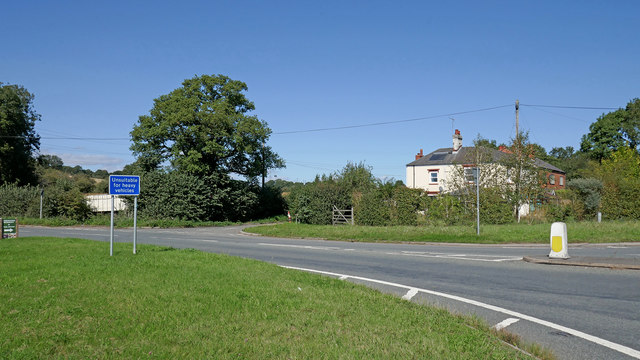
Image: © Roger Kidd Taken: 9 Sep 2020
This is at Fiveways. The A451 Stourbridge Road is off to the right. Sugar Loaf Lane is ahead, past the house. Beechtree Lane leads off to the left, towards Caunsall.
Images are licensed for reuse under creativecommons.org/licenses/by-sa/2.0
Image Location
Latitude
52.421434
Longitude
-2.192145