Rugby-Mill Road
Introduction
The photograph on this page of Rugby-Mill Road by Ian Rob as part of the Geograph project.
The Geograph project started in 2005 with the aim of publishing, organising and preserving representative images for every square kilometre of Great Britain, Ireland and the Isle of Man.

There are currently over 7.5m images from over 14,400 individuals and you can help contribute to the project by visiting https://www.geograph.org.uk
Rugby-Mill Road
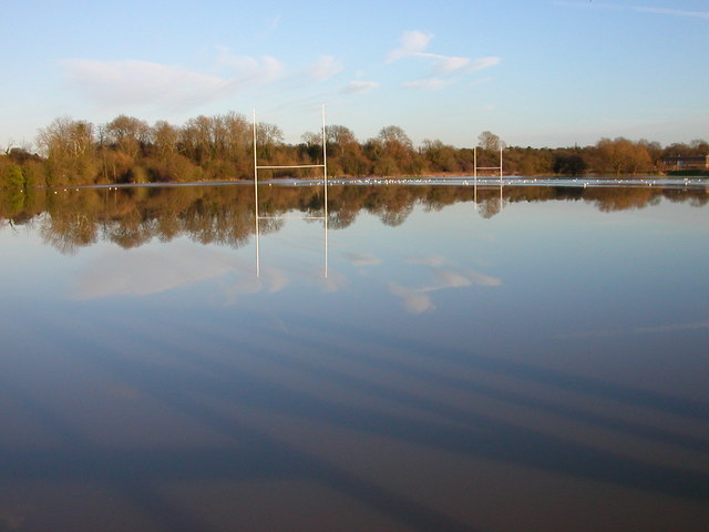
Image: © Ian Rob Taken: 16 Jan 2008
The rugby field at Mill Road is at present covered by the River Avon. The embankment in the distance is The Oxford Canal.
Images are licensed for reuse under creativecommons.org/licenses/by-sa/2.0
Image Location
Latitude
52.38233
Longitude
-1.246272