Weir on the River Rivelin
Introduction
The photograph on this page of Weir on the River Rivelin by Graham Hogg as part of the Geograph project.
The Geograph project started in 2005 with the aim of publishing, organising and preserving representative images for every square kilometre of Great Britain, Ireland and the Isle of Man.

There are currently over 7.5m images from over 14,400 individuals and you can help contribute to the project by visiting https://www.geograph.org.uk
Weir on the River Rivelin
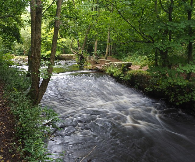
Image: © Graham Hogg Taken: 10 Sep 2020
The weir is the lower of two below the sluice that fed the mill dam for the Roscoe Wheel
Images are licensed for reuse under creativecommons.org/licenses/by-sa/2.0
Image Location
Latitude
53.389426
Longitude
-1.525422