The River Thurso at Halkirk, Caithness
Introduction
The photograph on this page of The River Thurso at Halkirk, Caithness by Claire Pegrum as part of the Geograph project.
The Geograph project started in 2005 with the aim of publishing, organising and preserving representative images for every square kilometre of Great Britain, Ireland and the Isle of Man.

There are currently over 7.5m images from over 14,400 individuals and you can help contribute to the project by visiting https://www.geograph.org.uk
The River Thurso at Halkirk, Caithness
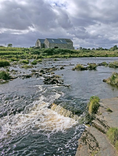
Image: © Claire Pegrum Taken: 4 Sep 2020
Opposite is Milton Mill, also known as Halkirk Mill. The OS Name Book of 1871-1873 describes the mill as, "a very good corn mill with all the modern improvements in the machinery for making meal, flour etc".
Images are licensed for reuse under creativecommons.org/licenses/by-sa/2.0
Image Location


Leaflet Map data © OpenStreetMap
Latitude
58.515728
Longitude
-3.49789