East along Avon Road, Blaenavon
Introduction
The photograph on this page of East along Avon Road, Blaenavon by Jaggery as part of the Geograph project.
The Geograph project started in 2005 with the aim of publishing, organising and preserving representative images for every square kilometre of Great Britain, Ireland and the Isle of Man.

There are currently over 7.5m images from over 14,400 individuals and you can help contribute to the project by visiting https://www.geograph.org.uk
East along Avon Road, Blaenavon
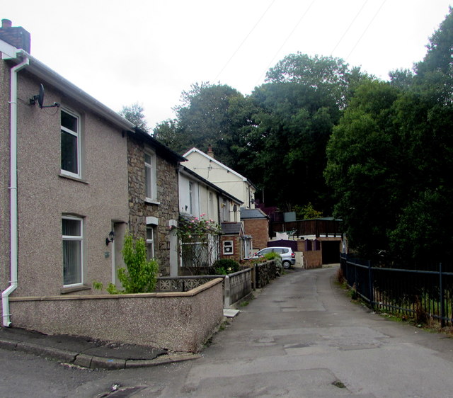
Image: © Jaggery Taken: 9 Sep 2020
Viewed from the corner of Brynavon. The houses are opposite a river, the Afon Lwyd, here about 300 metres (c985 ft) above mean sea level.
Images are licensed for reuse under creativecommons.org/licenses/by-sa/2.0
Image Location
Latitude
51.770102
Longitude
-3.081649