River Test emerging beneath Test Mill
Introduction
The photograph on this page of River Test emerging beneath Test Mill by Rosemary Oakeshott as part of the Geograph project.
The Geograph project started in 2005 with the aim of publishing, organising and preserving representative images for every square kilometre of Great Britain, Ireland and the Isle of Man.

There are currently over 7.5m images from over 14,400 individuals and you can help contribute to the project by visiting https://www.geograph.org.uk
River Test emerging beneath Test Mill
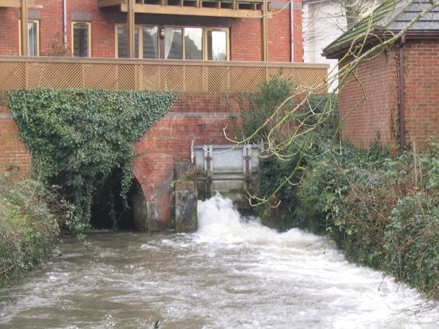
Image: © Rosemary Oakeshott Taken: 16 Jan 2008
Test Mill itself, an old water mill, has been completely rebuilt and converted into flats. The river here is split into several braids - this is one of the smaller ones.
Images are licensed for reuse under creativecommons.org/licenses/by-sa/2.0
Image Location


Leaflet Map data © OpenStreetMap
Latitude
50.991758
Longitude
-1.504679