Heol Maes Glasnant / Maes Glasnant Road
Introduction
The photograph on this page of Heol Maes Glasnant / Maes Glasnant Road by Alan Richards as part of the Geograph project.
The Geograph project started in 2005 with the aim of publishing, organising and preserving representative images for every square kilometre of Great Britain, Ireland and the Isle of Man.

There are currently over 7.5m images from over 14,400 individuals and you can help contribute to the project by visiting https://www.geograph.org.uk
Heol Maes Glasnant / Maes Glasnant Road
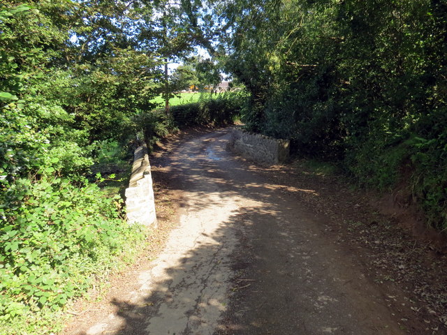
Image: © Alan Richards Taken: 9 Sep 2020
Heol fach yn croesi pont sy'n rhychwantu Nant y Glasdwr. A minor road crossing a bridge spanning Nant y Glasdwr (trans. greyish blue water).
Images are licensed for reuse under creativecommons.org/licenses/by-sa/2.0
Image Location


Leaflet Map data © OpenStreetMap
Latitude
51.833503
Longitude
-4.286222