Llwybr i Gwmffrwd / Path to Cwmffrwd
Introduction
The photograph on this page of Llwybr i Gwmffrwd / Path to Cwmffrwd by Alan Richards as part of the Geograph project.
The Geograph project started in 2005 with the aim of publishing, organising and preserving representative images for every square kilometre of Great Britain, Ireland and the Isle of Man.

There are currently over 7.5m images from over 14,400 individuals and you can help contribute to the project by visiting https://www.geograph.org.uk
Llwybr i Gwmffrwd / Path to Cwmffrwd
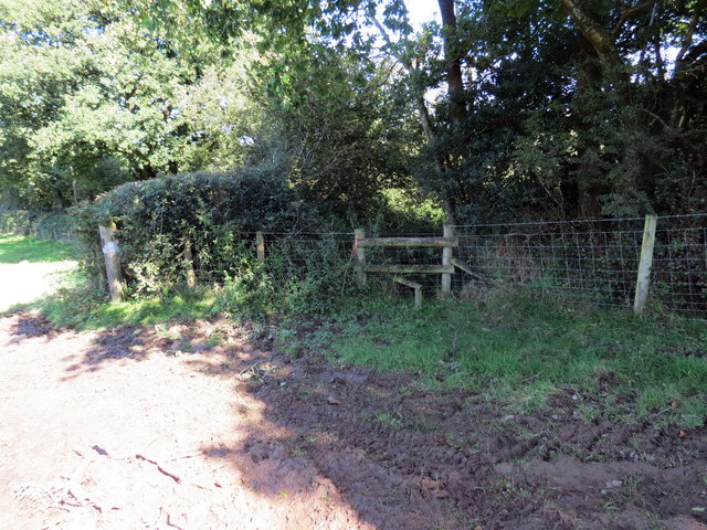
Image: © Alan Richards Taken: 9 Sep 2020
Llwybr cyhoeddus ger Moelfre Uchaf ym mynd i gyfeiriad pentre Cwmffrwd. A public footpath near Moelfre Uchaf (trans. bare hilltop [upper farm]) heading towards the village of Cwmffrwd (trans. stream valley).
Images are licensed for reuse under creativecommons.org/licenses/by-sa/2.0
Image Location
Latitude
51.829596
Longitude
-4.29749