Townsend Way, Bradpole
Introduction
The photograph on this page of Townsend Way, Bradpole by David Smith as part of the Geograph project.
The Geograph project started in 2005 with the aim of publishing, organising and preserving representative images for every square kilometre of Great Britain, Ireland and the Isle of Man.

There are currently over 7.5m images from over 14,400 individuals and you can help contribute to the project by visiting https://www.geograph.org.uk
Townsend Way, Bradpole
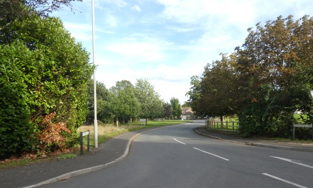
Image: © David Smith Taken: 26 Aug 2020
The road name describes its position; does this mean that the planners do not expect Bradpole to expand any more?
Images are licensed for reuse under creativecommons.org/licenses/by-sa/2.0
Image Location
Latitude
50.749004
Longitude
-2.741133