Fisher's Place
Introduction
The photograph on this page of Fisher's Place by Philip Halling as part of the Geograph project.
The Geograph project started in 2005 with the aim of publishing, organising and preserving representative images for every square kilometre of Great Britain, Ireland and the Isle of Man.

There are currently over 7.5m images from over 14,400 individuals and you can help contribute to the project by visiting https://www.geograph.org.uk
Fisher's Place
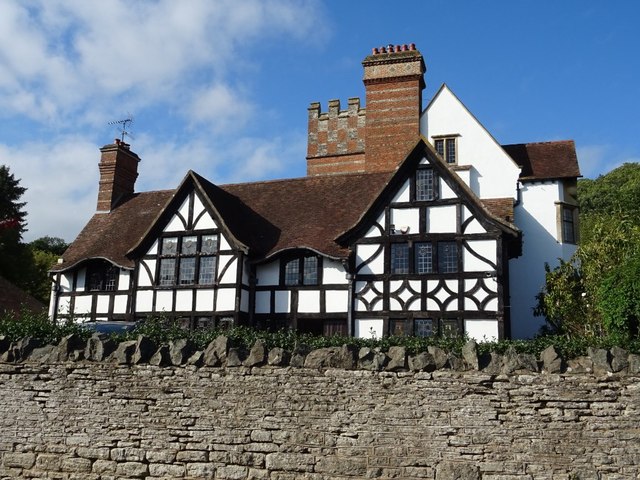
Image: © Philip Halling Taken: 8 Sep 2020
This appears old but in fact was built in 1909-10 and in Brooks and Pevsner is described as 'a Baronial Arts and Crafts confection built for G.O. Fisher'. It is a mix of timber-frame, stone and brick. Here it is viewed from a passing country road but it can be seen from the M50 motorway which passes nearby.
Images are licensed for reuse under creativecommons.org/licenses/by-sa/2.0
Image Location
Latitude
51.998568
Longitude
-2.300735