Golder Close House, Strelley
Introduction
The photograph on this page of Golder Close House, Strelley by Kate Jewell as part of the Geograph project.
The Geograph project started in 2005 with the aim of publishing, organising and preserving representative images for every square kilometre of Great Britain, Ireland and the Isle of Man.

There are currently over 7.5m images from over 14,400 individuals and you can help contribute to the project by visiting https://www.geograph.org.uk
Golder Close House, Strelley
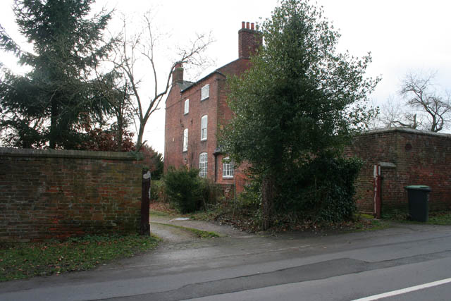
Image: © Kate Jewell Taken: 14 Jan 2008
A large three storey mid 18th Century red brick house with later additions to the rear, at the eastern end of Strelley. The house is L-shaped with a slate roof. Adjoining the property is a buttressed boundary wall with gabled brick coping along the roadside boundary. The village was "removed" from its original position in Image to allow for the creation of parkland when the present Hall was built between between 1789 and 1793. Most of the cottages and houses in the village originate from this time.
Images are licensed for reuse under creativecommons.org/licenses/by-sa/2.0
Image Location
Latitude
52.971314
Longitude
-1.241281