Heading for Gardenrose Path
Introduction
The photograph on this page of Heading for Gardenrose Path by Mary and Angus Hogg as part of the Geograph project.
The Geograph project started in 2005 with the aim of publishing, organising and preserving representative images for every square kilometre of Great Britain, Ireland and the Isle of Man.

There are currently over 7.5m images from over 14,400 individuals and you can help contribute to the project by visiting https://www.geograph.org.uk
Heading for Gardenrose Path
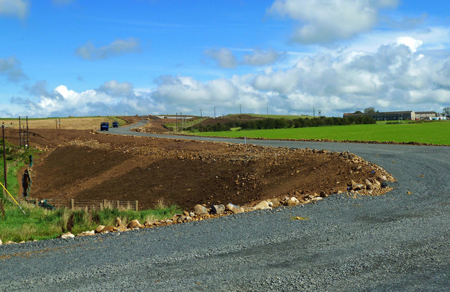
Image: © Mary and Angus Hogg Taken: 6 Sep 2020
Only 1 month previously, the view looked like Image The new route really is taking shape here with the outline of a new roundabout and access roads visible. Maybole By-pass will climb up a gentle slope towards Gardenrose Path where the framework for the new bridge has been put in place - see Image
Images are licensed for reuse under creativecommons.org/licenses/by-sa/2.0
Image Location
Latitude
55.356542
Longitude
-4.697087