New Development off Waterside Road
Introduction
The photograph on this page of New Development off Waterside Road by David Wright as part of the Geograph project.
The Geograph project started in 2005 with the aim of publishing, organising and preserving representative images for every square kilometre of Great Britain, Ireland and the Isle of Man.

There are currently over 7.5m images from over 14,400 individuals and you can help contribute to the project by visiting https://www.geograph.org.uk
New Development off Waterside Road
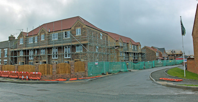
Image: © David Wright Taken: 15 Jan 2008
This land is very low-lying and is coloured a nice shade of blue on the Environment Agency flood map (Flooding from rivers or sea without defences). Fortunately the flood wall along the nearby Haven has recently been improved.
Images are licensed for reuse under creativecommons.org/licenses/by-sa/2.0
Image Location


Leaflet Map data © OpenStreetMap
Latitude
53.691483
Longitude
-0.443781