The former railway line at Lossiemouth
Introduction
The photograph on this page of The former railway line at Lossiemouth by Ann Harrison as part of the Geograph project.
The Geograph project started in 2005 with the aim of publishing, organising and preserving representative images for every square kilometre of Great Britain, Ireland and the Isle of Man.

There are currently over 7.5m images from over 14,400 individuals and you can help contribute to the project by visiting https://www.geograph.org.uk
The former railway line at Lossiemouth
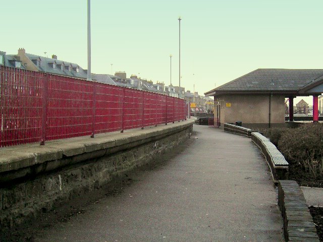
Image: © Ann Harrison Taken: 14 Jan 2008
In its heyday Lossiemouth had a direct rail link to Aberdeen.The railway line ran along this path, which is now part of Station Park. The edge of the wall, to the left, was the edge of a platform. This platform now forms part of the gardens at Station Park.
Images are licensed for reuse under creativecommons.org/licenses/by-sa/2.0
Image Location


Leaflet Map data © OpenStreetMap
Latitude
57.720659
Longitude
-3.28137