Nafferton Beck
Introduction
The photograph on this page of Nafferton Beck by Peter Church as part of the Geograph project.
The Geograph project started in 2005 with the aim of publishing, organising and preserving representative images for every square kilometre of Great Britain, Ireland and the Isle of Man.

There are currently over 7.5m images from over 14,400 individuals and you can help contribute to the project by visiting https://www.geograph.org.uk
Nafferton Beck
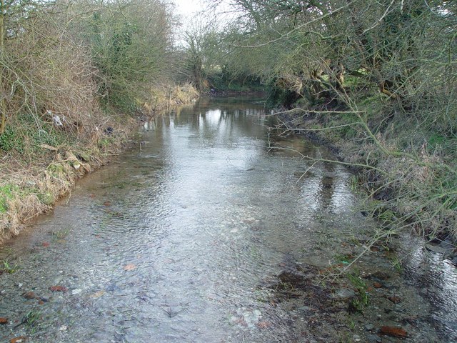
Image: © Peter Church Taken: 6 Feb 2005
Looking upstream from the footbridge which is easily accessible via the footpath. See also Image
Images are licensed for reuse under creativecommons.org/licenses/by-sa/2.0
Image Location


Leaflet Map data © OpenStreetMap
Latitude
54.014229
Longitude
-0.385838